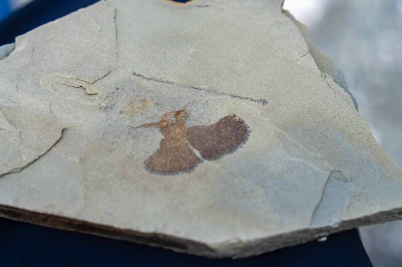
Newfoundland, Canada
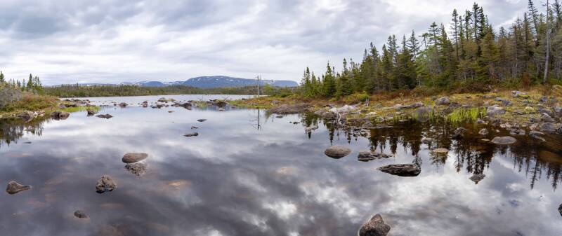
If you like wild areas, mountains, ponds, rocky seashores, and especially geology, you will want to visit Newfoundland. There are no large cities or art museums, just lots of fresh air, cool temperatures, and exceptionally friendly residents.
This is an island province in eastern Canada, on the Atlantic Ocean and the Gulf of St. Lawrence.
We did not explore all that Newfoundland has to offer, which would take much longer than a week. If this sparked interest, go to YouTube.com and search for Newfoundland Travel Videos. There are many well-presented ones.
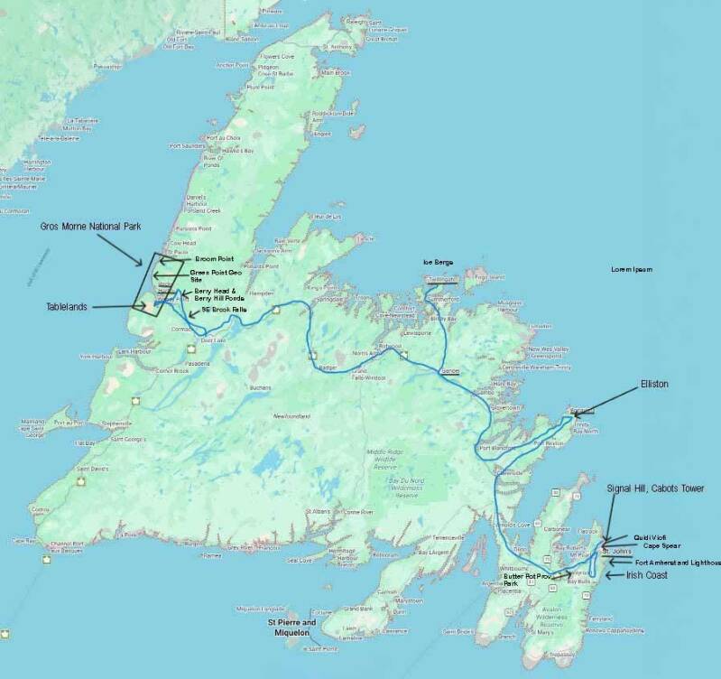
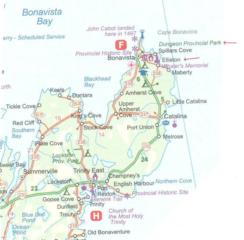
Our tour in early June 2026 started in the area around St. John's, which is called the Avalon Peninsula. Next was Elliston, Twillingate, and finally the west coast.
Three separate tectonic plates formed the island, each coming from different climates during the Pangea breakup.
This resulted in three unique geologic areas: the east, the west, and the middle. From the photos and videos and an understanding of geology, you might recognize the difference.
St. John's is the largest city and capital of the Province of Newfoundland and Labrador.
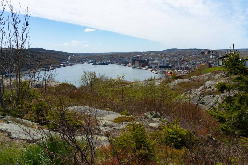
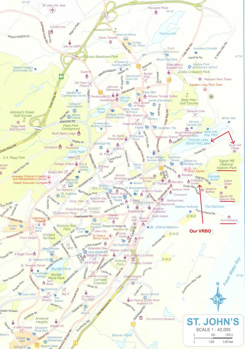
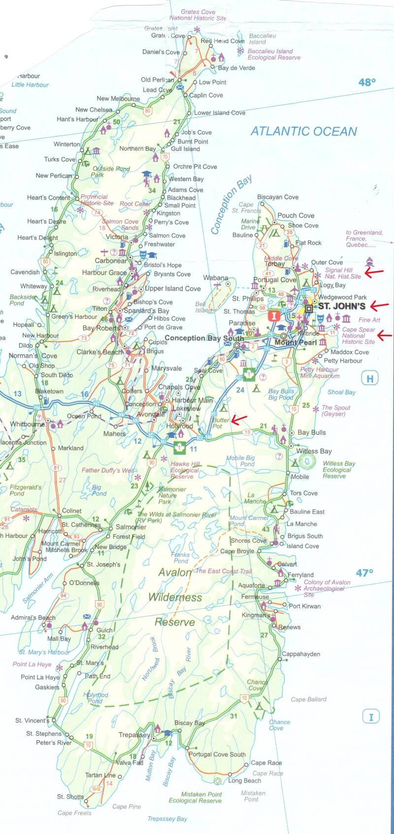
Some of the place in and around St. John's we visited.
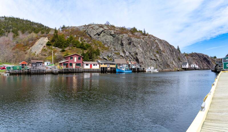
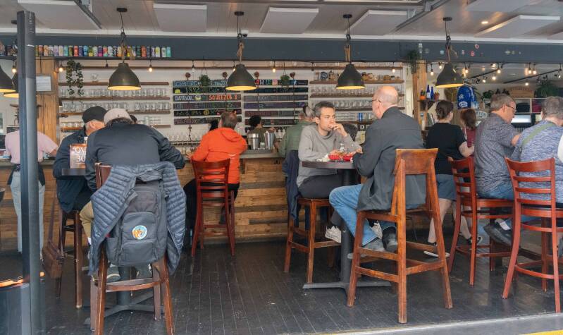
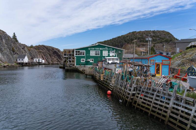
Quidi Vidi is a fishing inlet, residential area, tourist attraction, and brewery in St. John's.
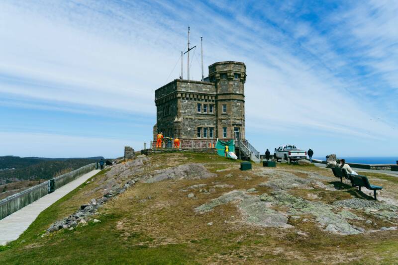
Signal Hill overlooks the harbor and city of St. John's. The majority of Signal Hill, including Cabot Tower, is designated a National Historic Site. The highest point, Ladies' Lookout, is 167 m (548 ft) high. Due to its strategic location overlooking the Narrows, the only entrance to the harbor, it was important to the harbor's defense; the fortifications date back to the mid-17th century. John Cabot (Giovanni Caboto), an Italian explorer, came here for England in 1497 and laid claim to this area.
On December 12, 1901, the first transatlantic wireless transmission was received there by Guglielmo Marconi.
Adjacent to the National Historic Site is the Johnson Geo Center and Johnson Geo Vista Park.
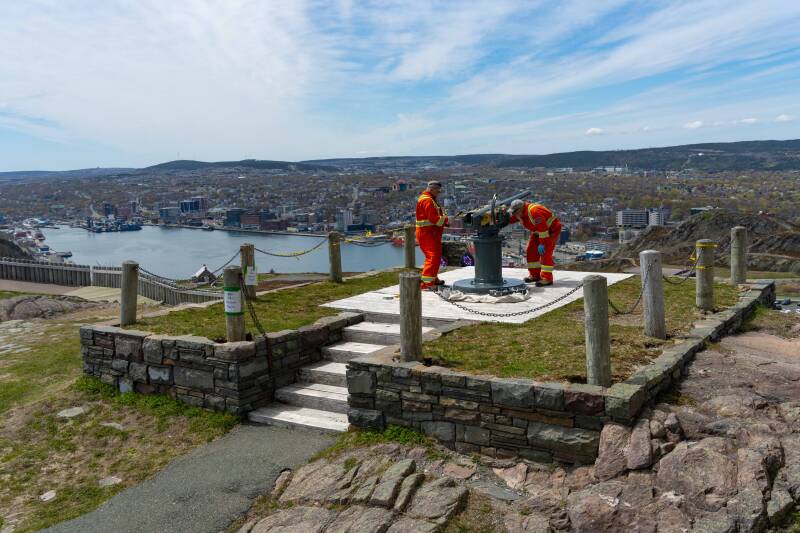
Painting a canon at Signal Hill
Cabot Tower
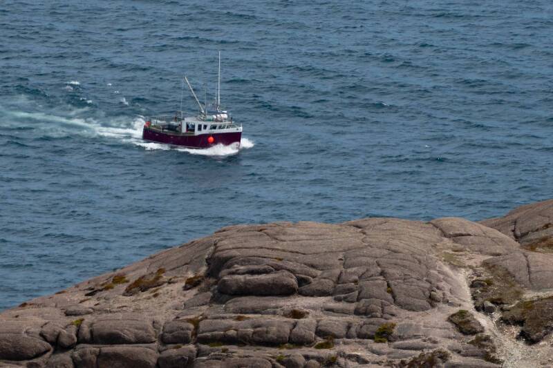
From Signal Hill a fishing boat coming into St. John's Harbor.
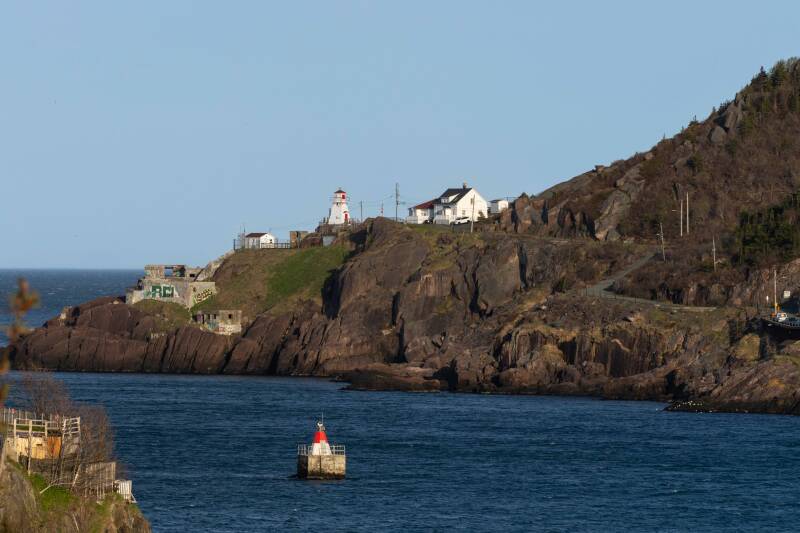
The Narrows and Fort Amherst and Lighthouse
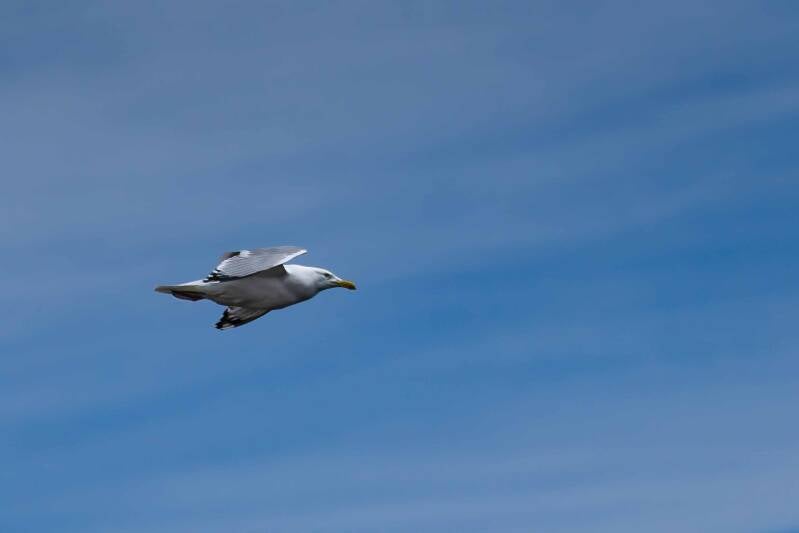
A gull flying over Signal Hill.
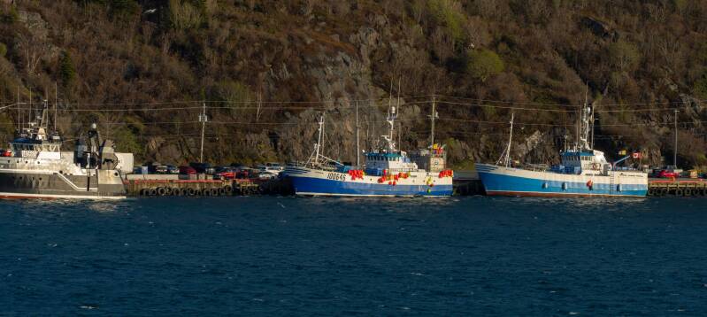
Fishing boats in St. John's Harbor.
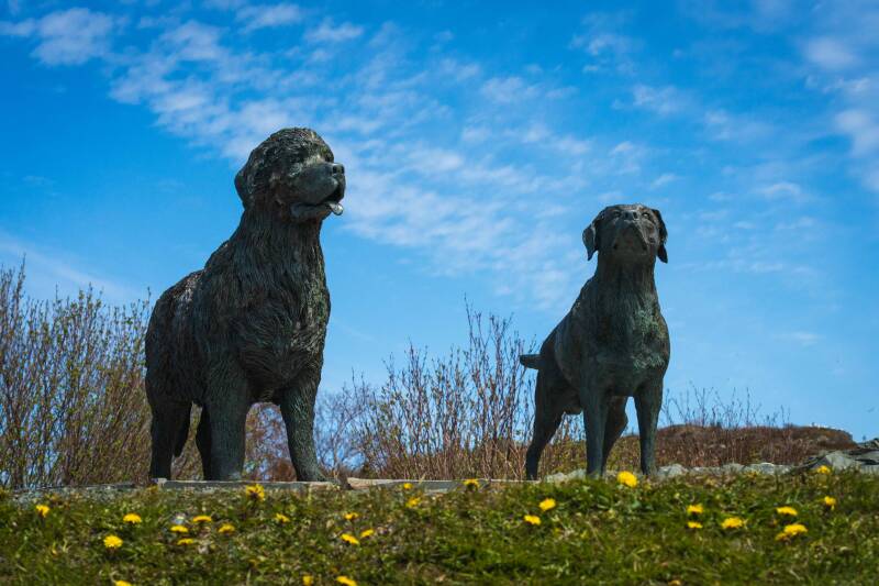
Statues of dogs - a Labrador and a Newfoundland.
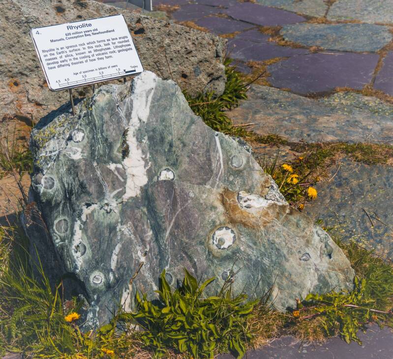
Rock example at Johnson Geo Center
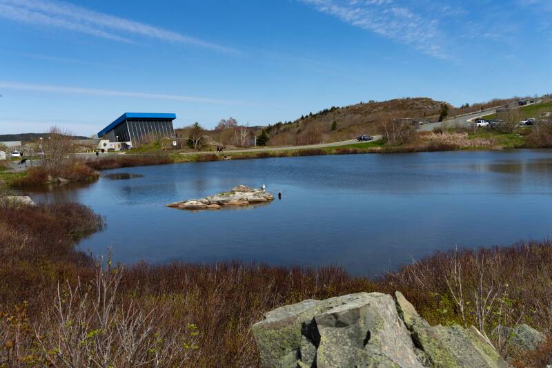
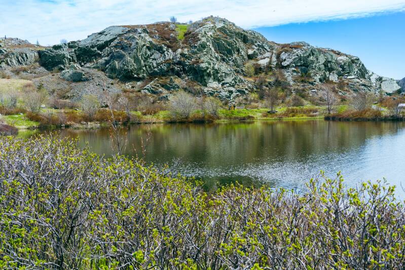
Johnson Geo Center and pond.
Video of the above sites.
Butter Pot Provincial Park
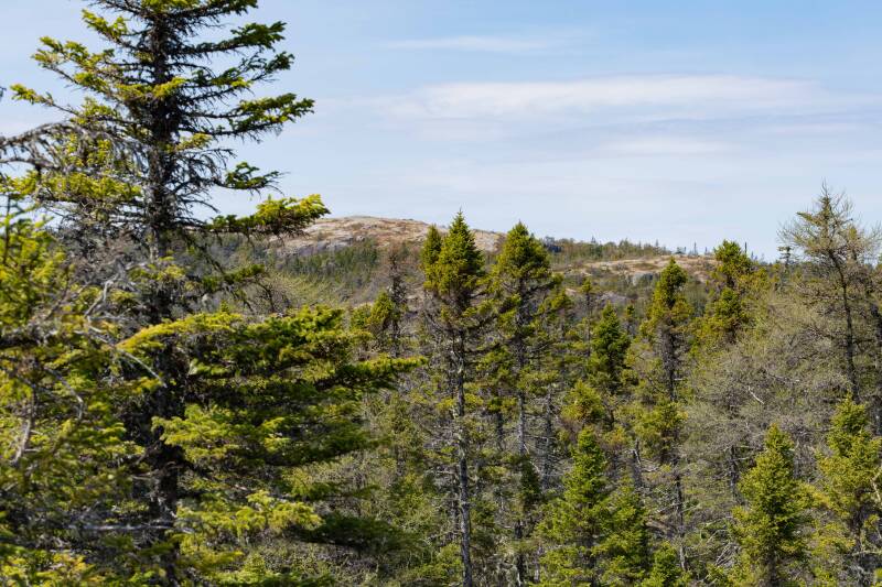
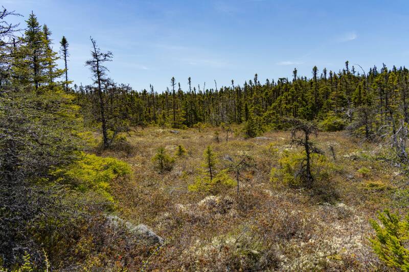
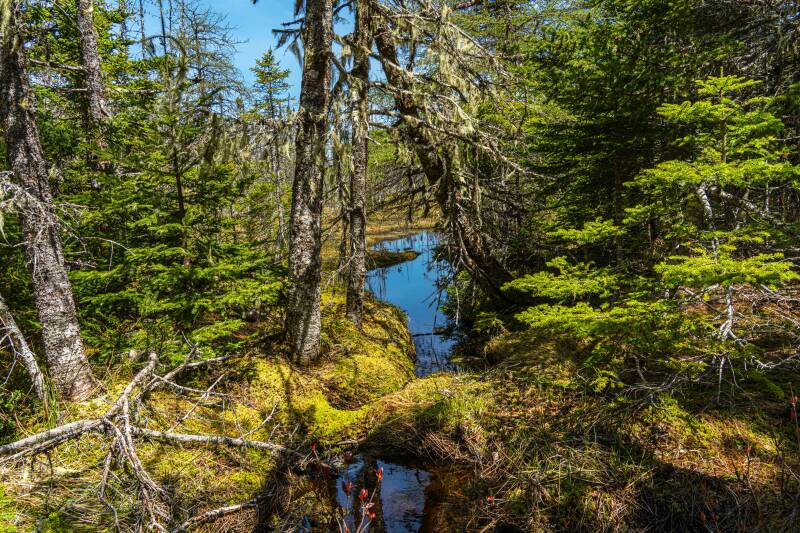
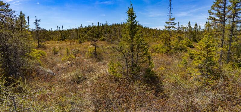
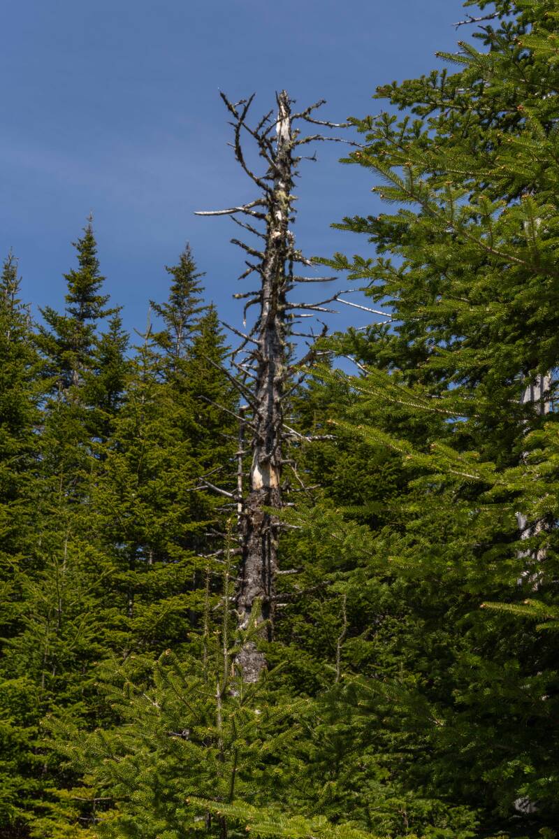
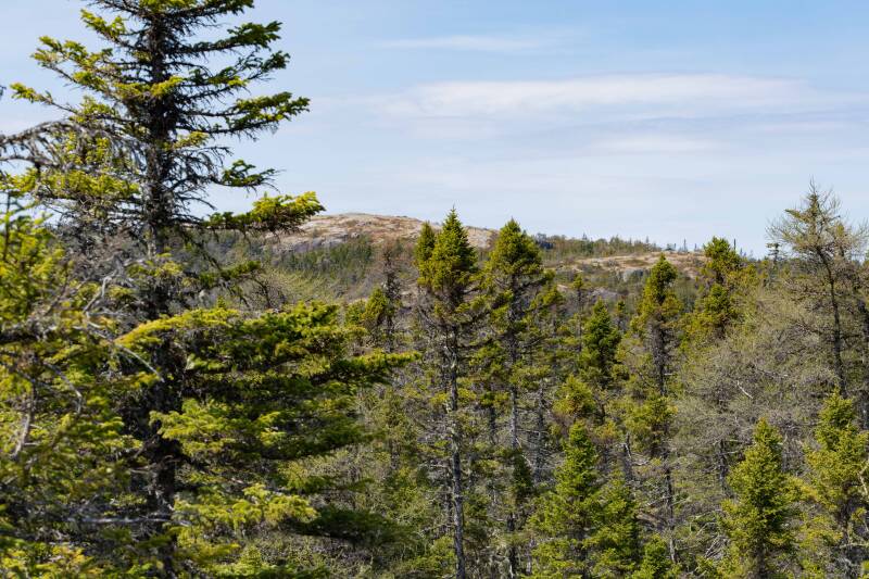
Located a few miles south of St. John's, this park has trails through typical flora for the region-pine trees, small streams, wetlands, glacier-shaped rocks, and spring growths.
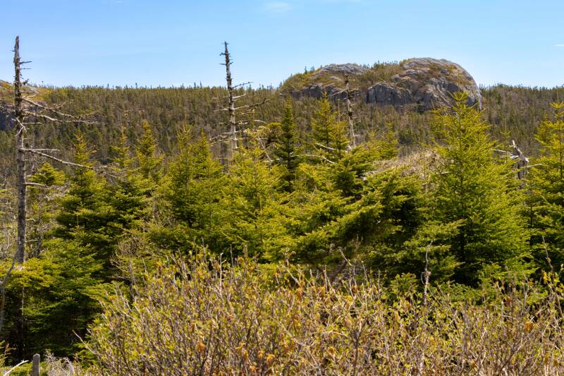
Butter Pot rock for which the park is named.
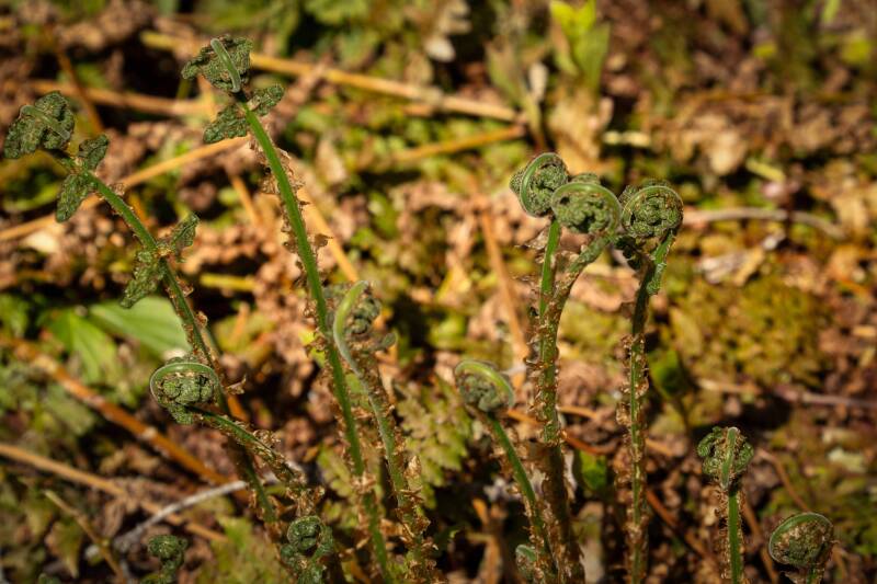
Fern Fiddlehead
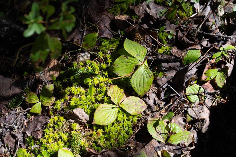
Bunchberry, before berries
Cape Spear
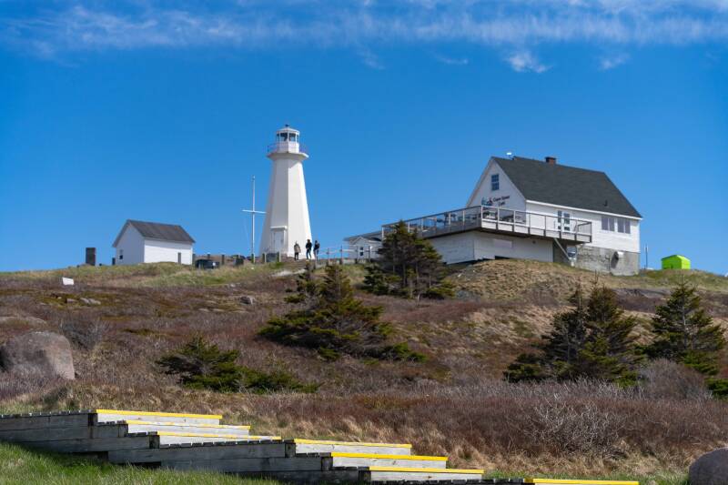
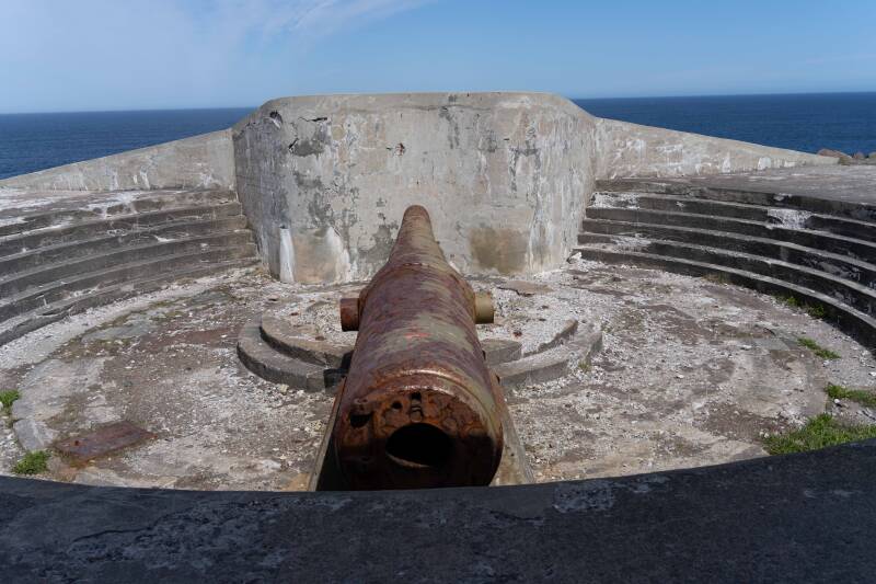
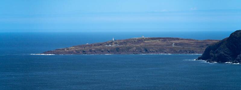
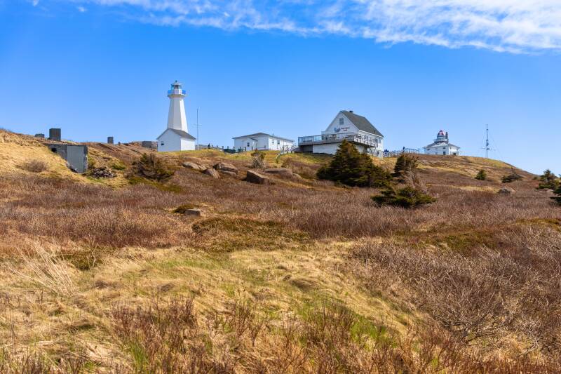
Cape Spear is the easternmost point in North America, home to the historic Cape Spear Lighthouse and a site of stunning natural beauty and historical significance. The Cape Spear Lighthouse, constructed in 1835 and operational from 1836, is the oldest surviving lighthouse in Newfoundland and Labrador. The original lighthouse and lightkeeper’s residence have been restored to reflect the 19th-century lifestyle of the Cantwell family, who maintained the light for over 150 years. A new concrete lighthouse was built in 1955, incorporating the original light. The site is a National Historic Site of Canada, recognized for its historical, architectural, and environmental significance. During World War II, Cape Spear hosted a coastal defense battery to protect St. John’s harbor from German submarines. The site included barracks, bunkers, and two 10-inch guns, which remain as historical artifacts. Visitors can explore these remnants and learn about the area's military history.
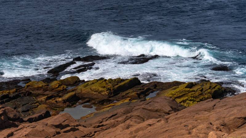
Bonavista, Elliston, Puffins and Dungeon Provincial Park
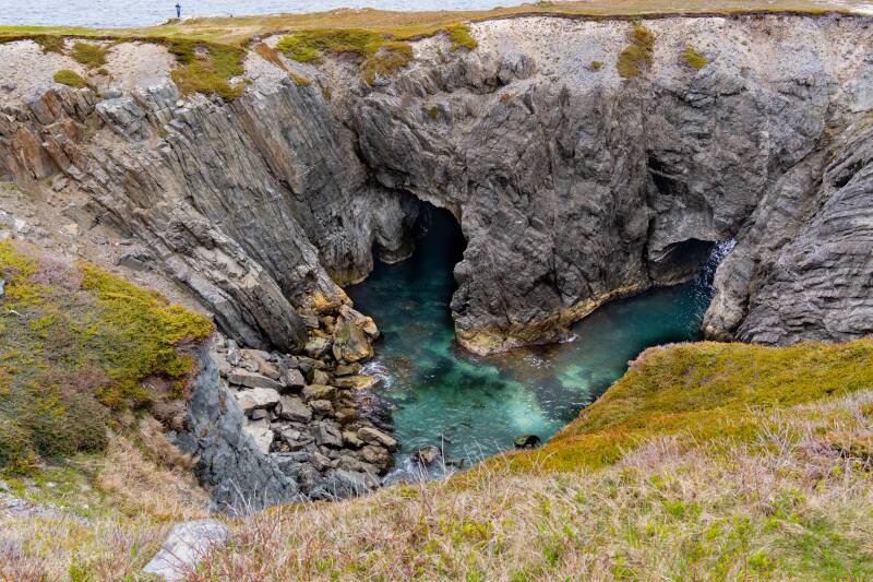
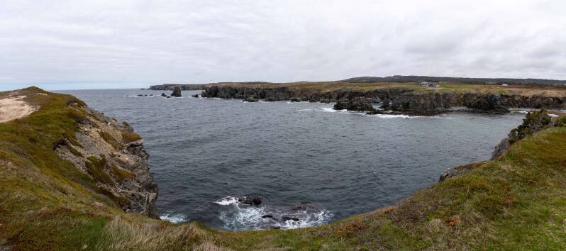
Dungeon Provincial Park offers a dramatic coastal landscape shaped by wind, waves, and erosion. Visitors can take in the park’s signature collapsed sea cave.
Puffins galore

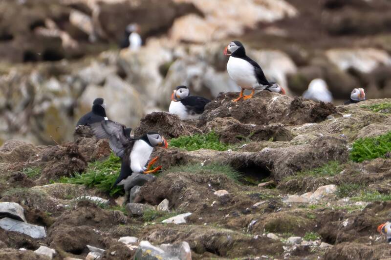
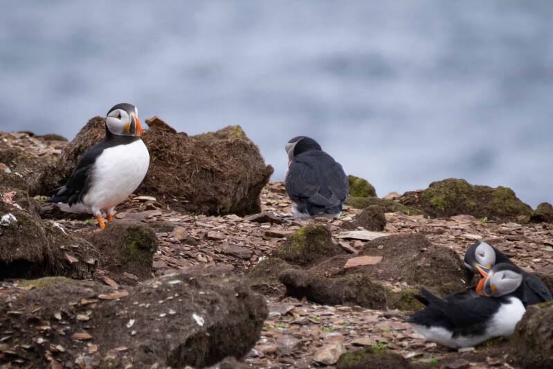
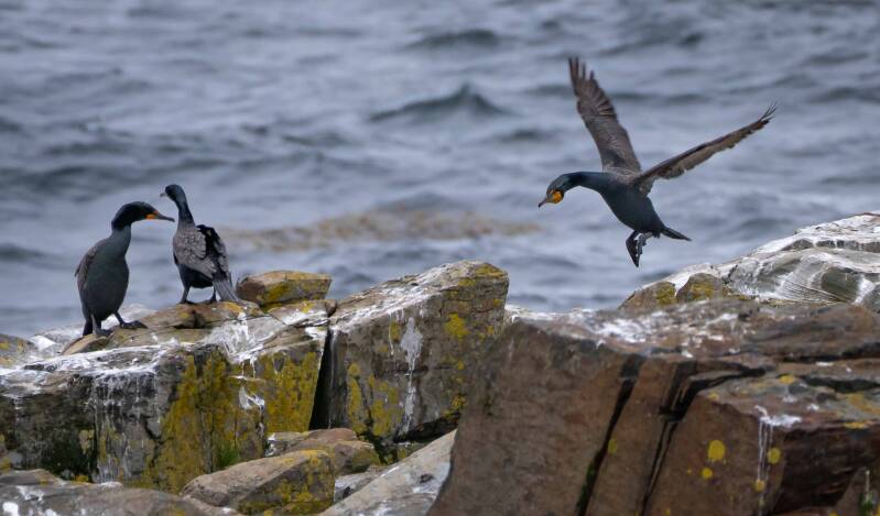
And Cormorants
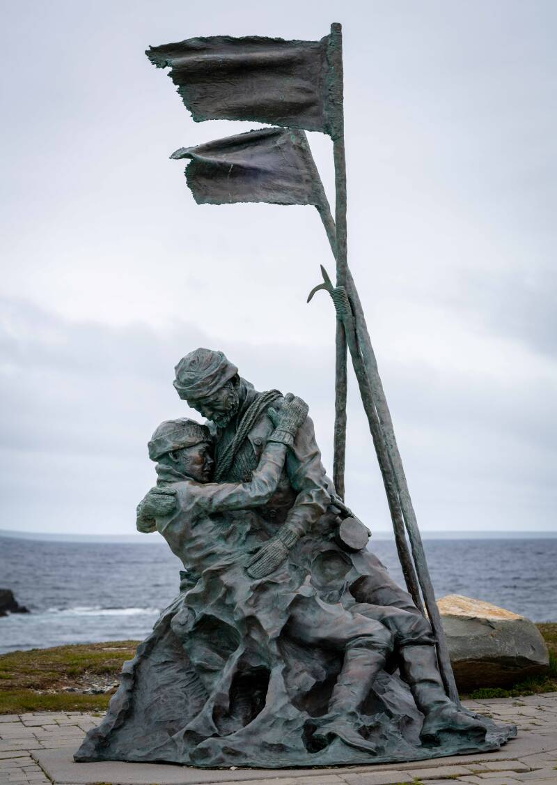
The Sealers Memorial Statue and Monument commemorates the 251 lives lost in the twin sealing disasters of 1914. In a larger sense, it honors all those who have taken great risks on the sea to support their families and build communities.
A fox ambling aside our path.
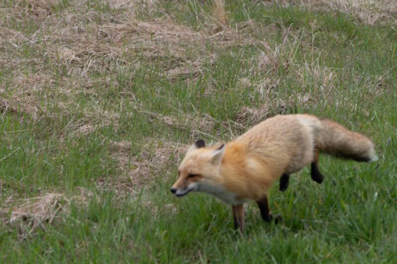
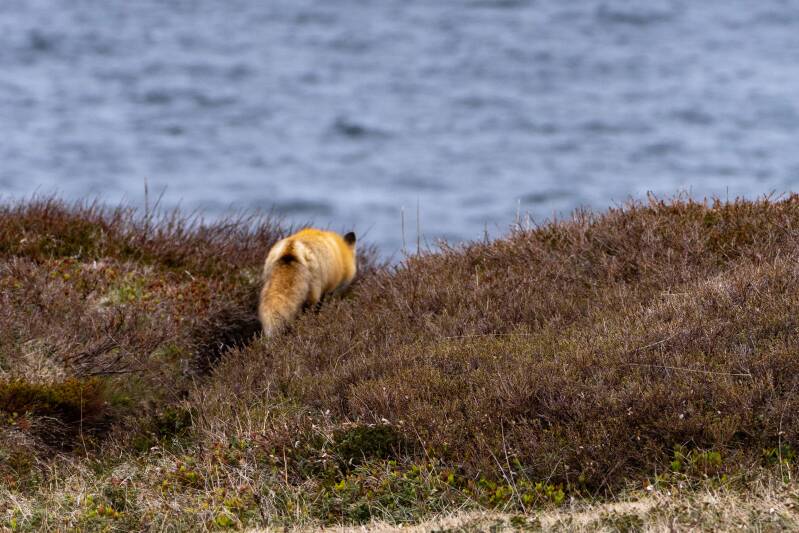
Next stop was Twillingate
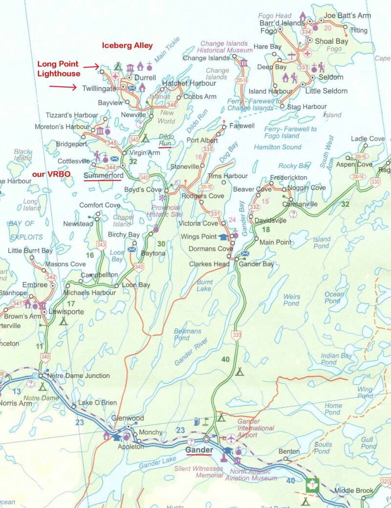
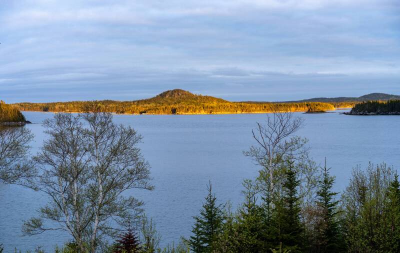
The view from our Summerford VRBO
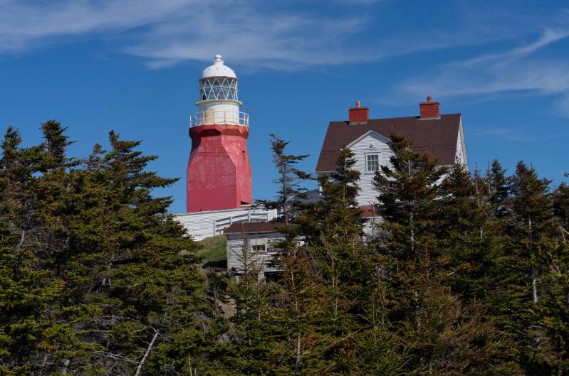
Long Point Lighthouse

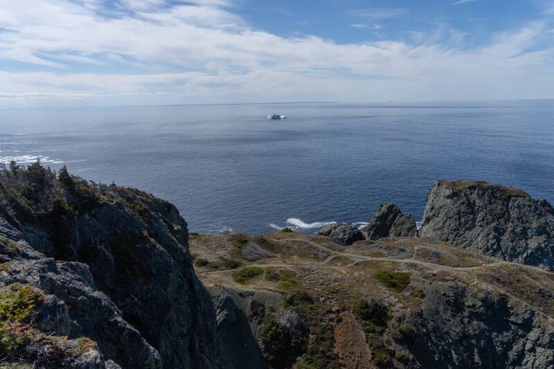
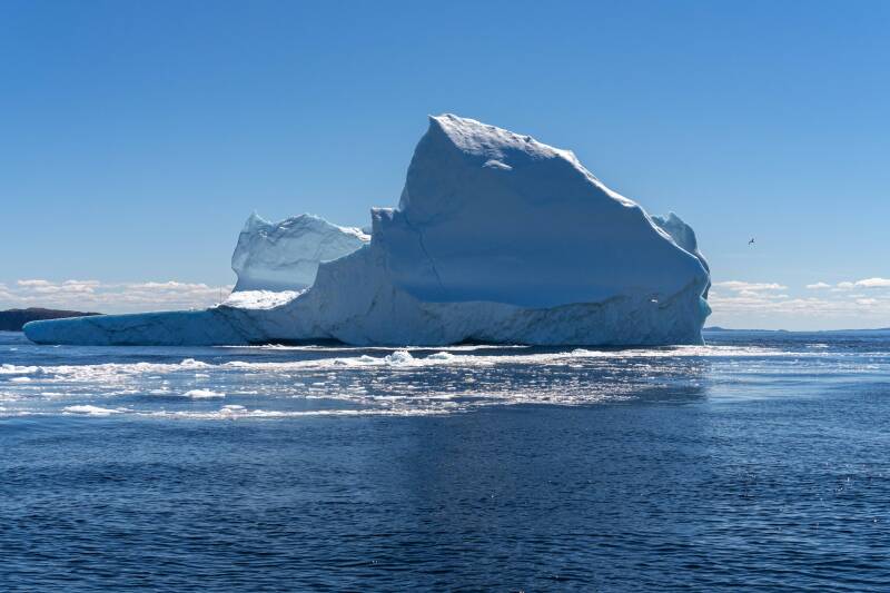
Iceberg from Long Point Lighthouse
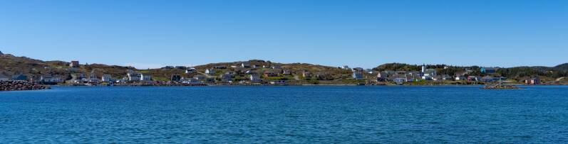
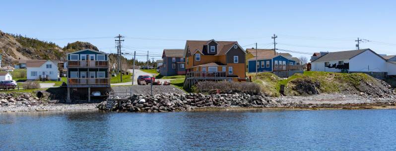
The fishing and tourist village of Twillingate
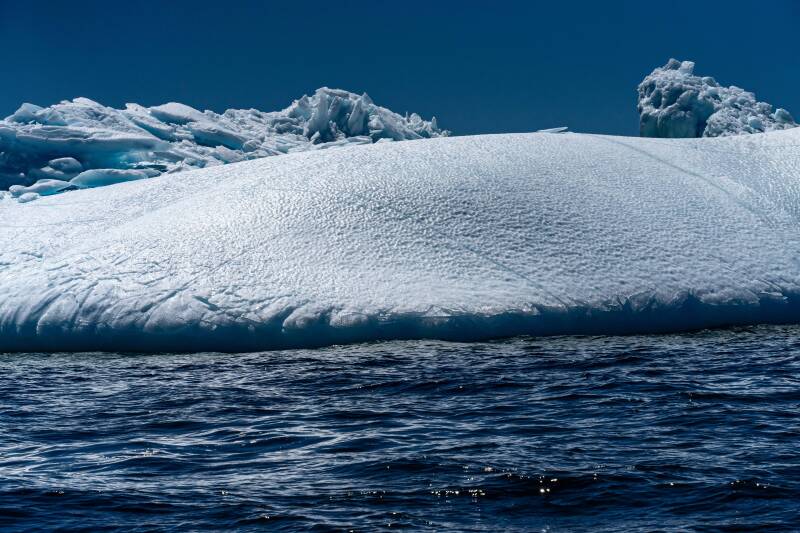
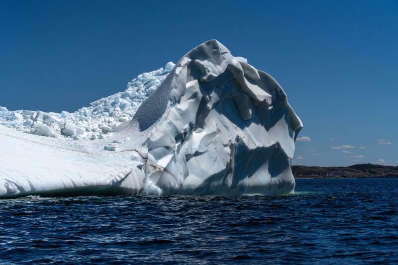
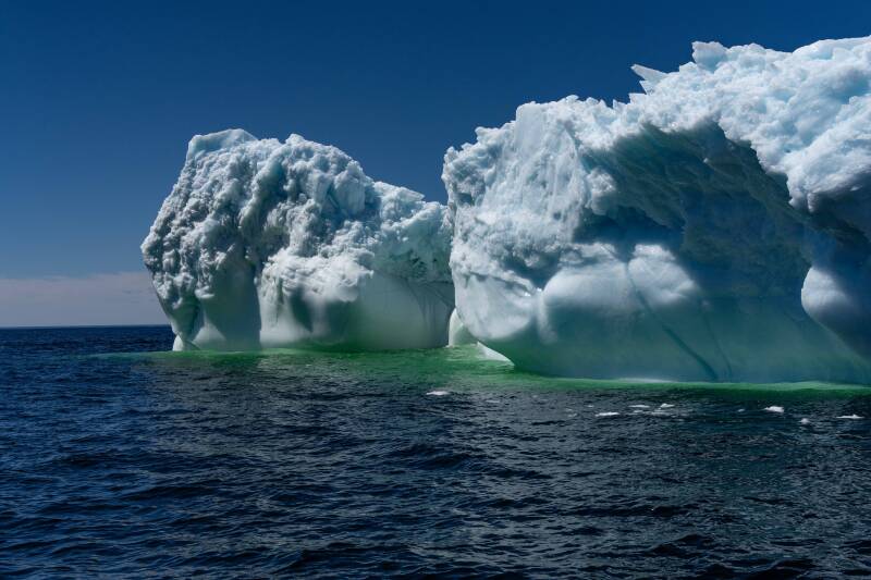
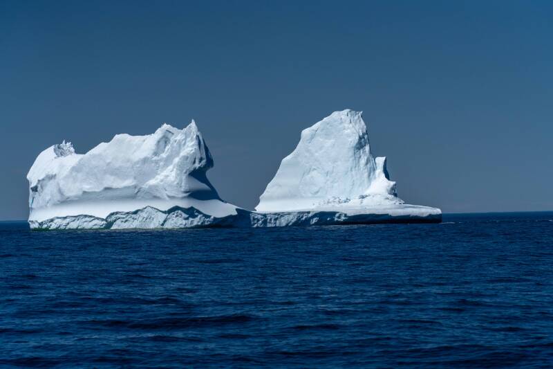
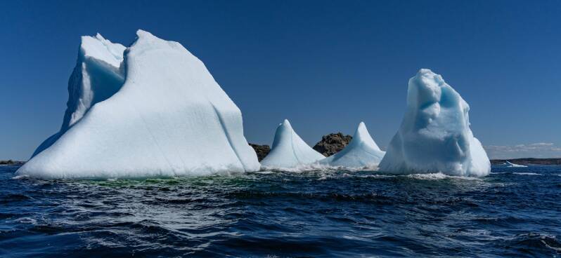
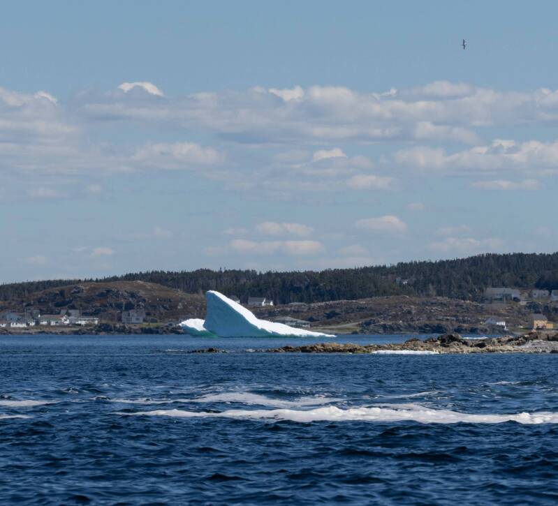
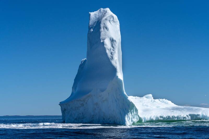
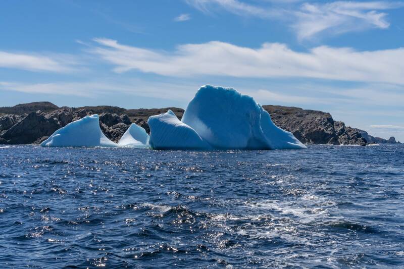
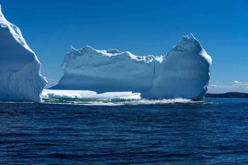
Iceberg Alley Photos
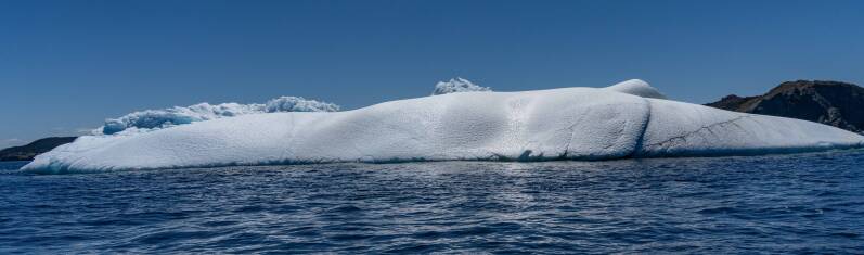
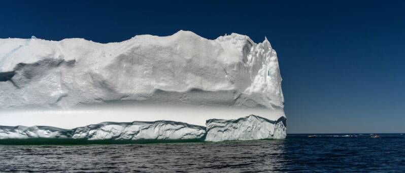
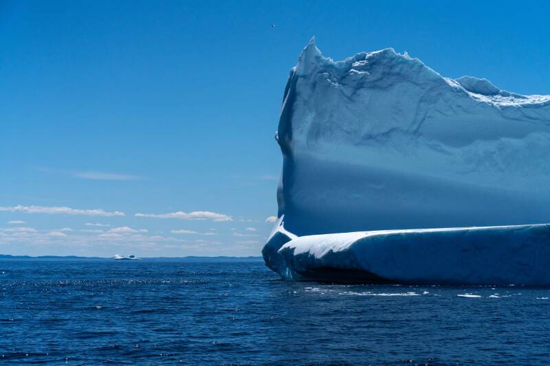
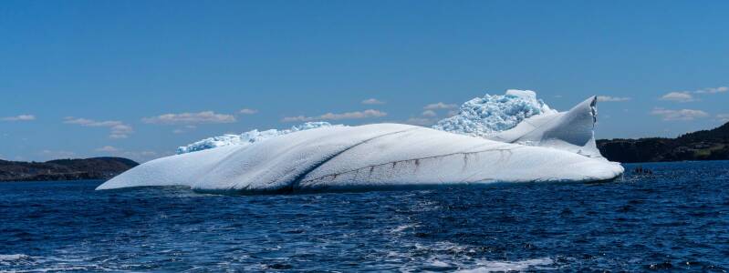
We were fortunate to see many icebergs in a variety of shapes and sizes along the Newfoundland coast.
These massive pieces of ice break away from glaciers in Greenland and slowly drift south through the North Atlantic toward Newfoundland.
Only a small portion of an iceberg is visible above the water. It is often said that roughly 10 percent can be seen, while the remaining mass lies below the surface.

Dildo Run Provincial Park
Several explanations have been suggested for the unusual place name, though no single origin appears to be universally accepted.
- Boat oar pegs: One long-standing story suggests that early English explorers compared nearby coastal landforms to the wooden oar pegs used on rowboats. These pegs, also known as thole pins or dole pins, were historically called “dildos,” and the name may have remained in use.
- Maritime doldrums reference: Another theory connects the name to sailors’ language. Crews navigating the Dildo Run may have joked that they were “in the dilly dollies,” a phrase used to describe being stuck without wind. Over time, the expression may have been shortened to “Dildo.”
- French island name corruption: Some suggest the name evolved from the French phrase De l’île de l’eau, meaning “of the island of the water.” According to this theory, the phrase was applied to nearby Dildo Island and gradually changed into “Dildo.”
- Historical usage: The name “Dildo,” sometimes spelled “Dildoe” in early records, appears in Newfoundland documents from at least 1711. It was first associated with Dildo Island and later applied to Dildo Arm and other nearby features.
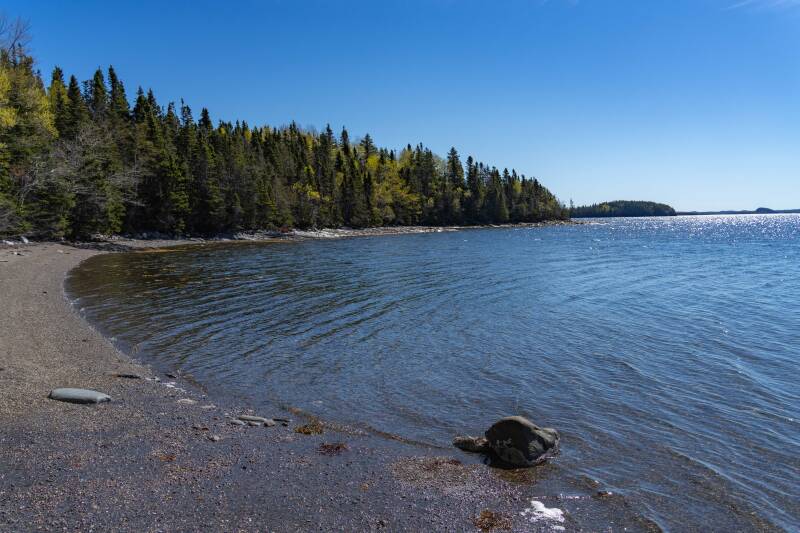
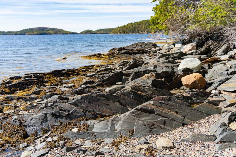
This small park has an ideal old-folks trail along the shore of an ocean cove (Dildo Run). Located on the same peninsula as Twillingate. Some spring woodland plants colored the paths.
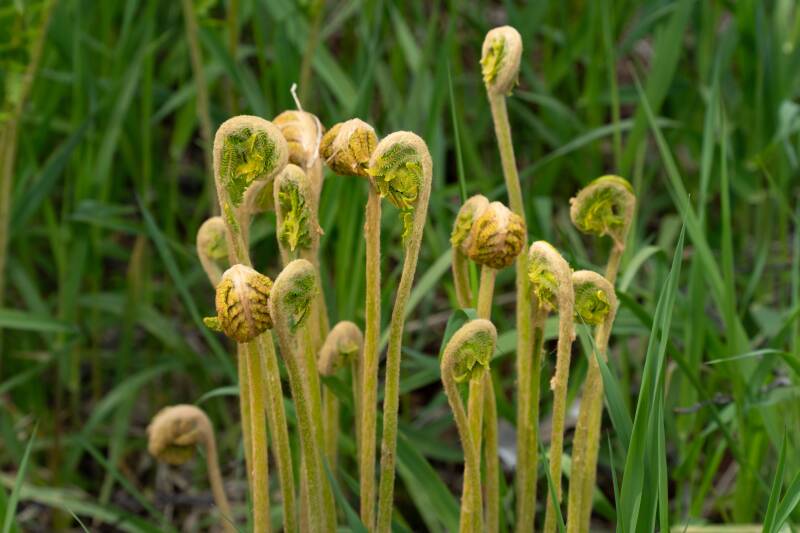
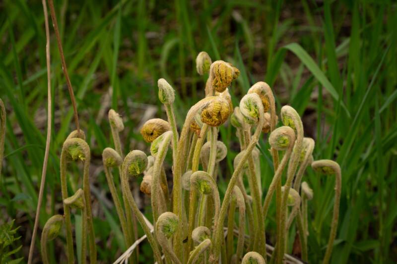
Cinnamon Fern Fiddleheads
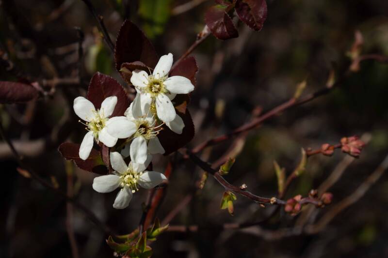
Various names for this plant: Serviceberry, Juneberry, or Shadbush
Final Destination: Gros Morne National Park
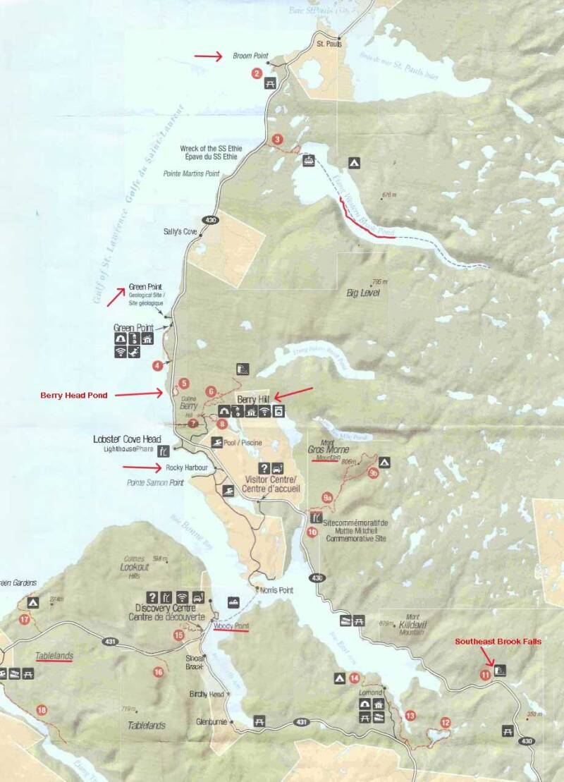
Gros Morne National Park offers breathtaking fjords, mountains, coastal trails, and unique geological formations, making it a must-visit destination. Here are some highlights to see. Western Brook Pond is a stunning freshwater fjord with towering cliffs and cascading waterfalls. Visitors can take a two-hour boat tour to experience the dramatic scenery and wildlife, including eagles and moose, after a short 3 km walk to the dock. We saw this only from afar. The Tablelands is a rare geological site where the Earth’s mantle is exposed, creating a rust-colored, barren landscape. The Tablelands Trail offers a 4 km round-trip hike suitable for families, while off-trail routes provide more challenging exploration. Gros Morne Mountain is the park’s highest peak at 806 meters. Green Point and the Green Point Geological Site showcase 500 million years of geological history, with accessible trails and interpretive signage. The Gros Morne Discovery Centre, near Woody Point, features interactive exhibits on the park’s ecosystem, geology, and cultural history, making it a great starting point for visitors. Woody Point and Rocky Harbour are charming towns with local cafés, art galleries, and shops, making them perfect for dining, souvenirs, and cultural immersion. We had lunch at Woody Point and stayed at a VRBO in Rocky Harbour.
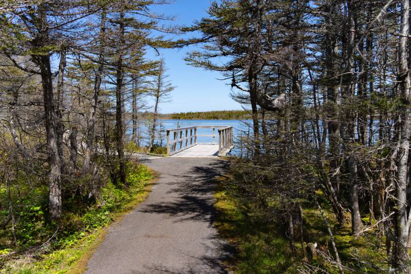
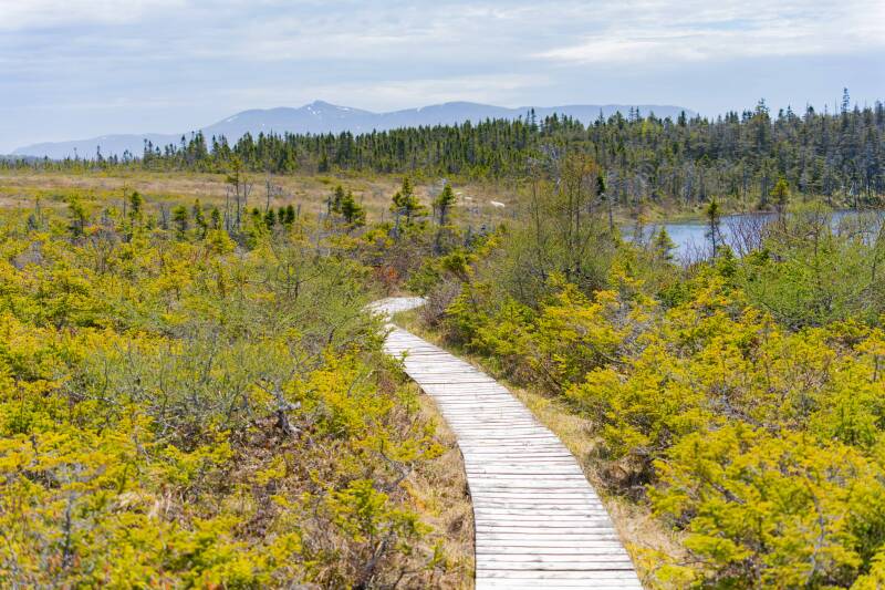
Berry Head Pond, Gros Morne NP
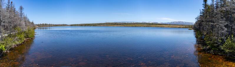
Berry Hill Pond, Gros Morne NP
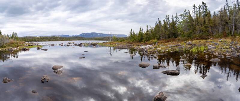
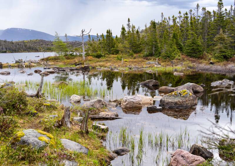
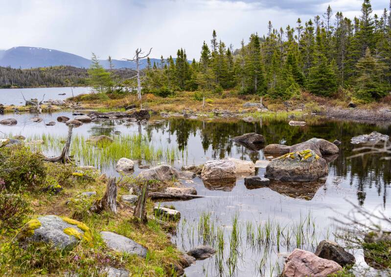
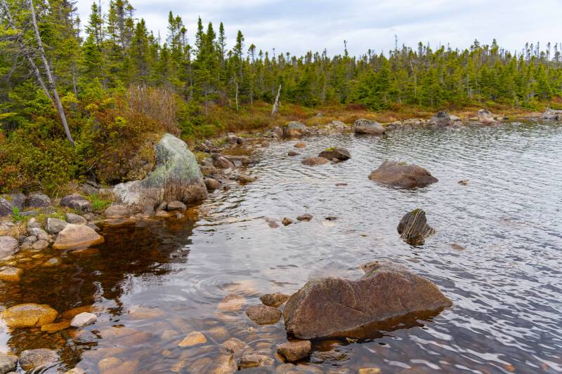
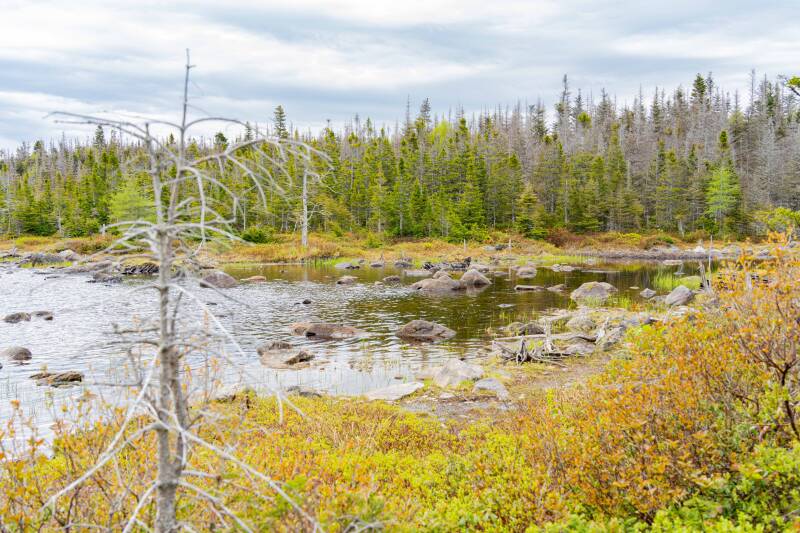
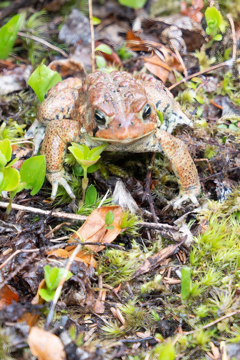
The Toads were out in force at both Berry Head and Berry Hill Ponds. The females lay their eggs in the water, and the males come by to fertilize the eggs. I think they winter on land. They were seen everywhere on the land, hopping along to the water.
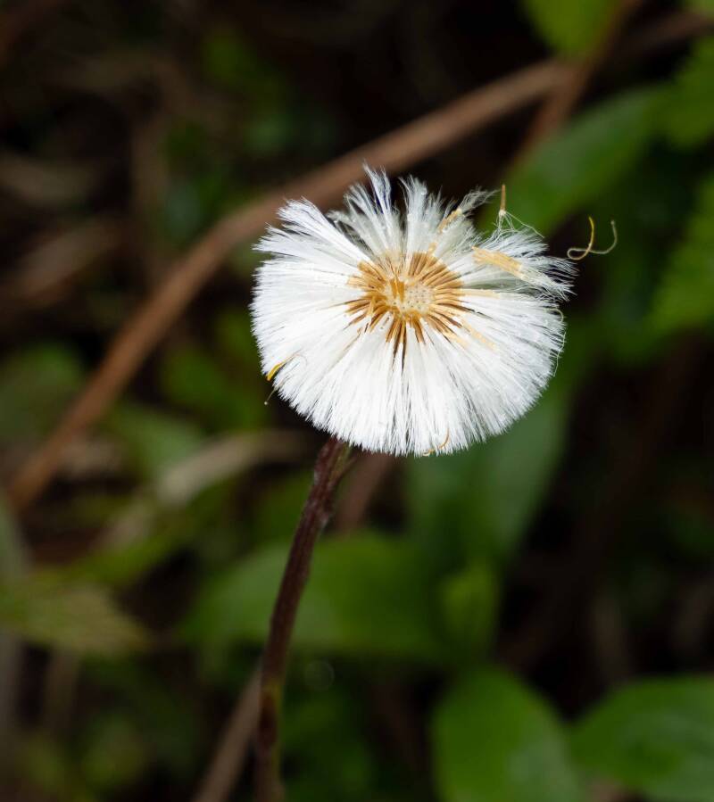
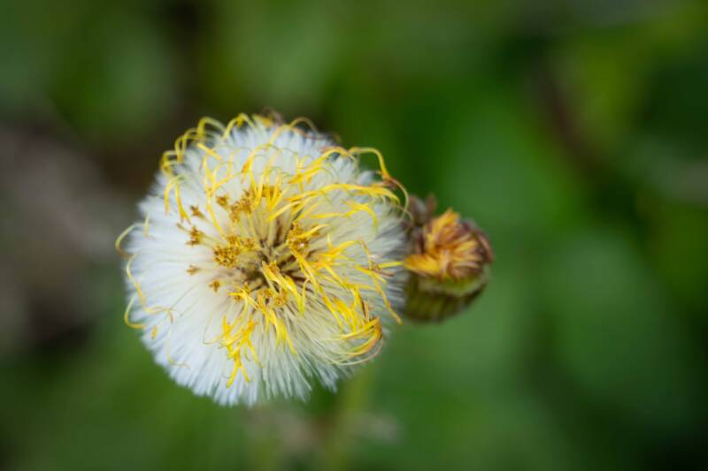
Coltsfoot plant, not a dandelion, even though it looks like one.
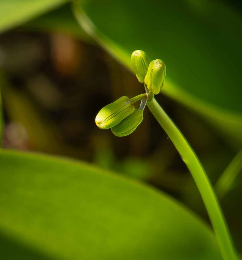
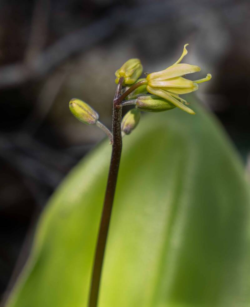
Bluebead Lily that blossoms into a yellow flower and "bluebead berry."
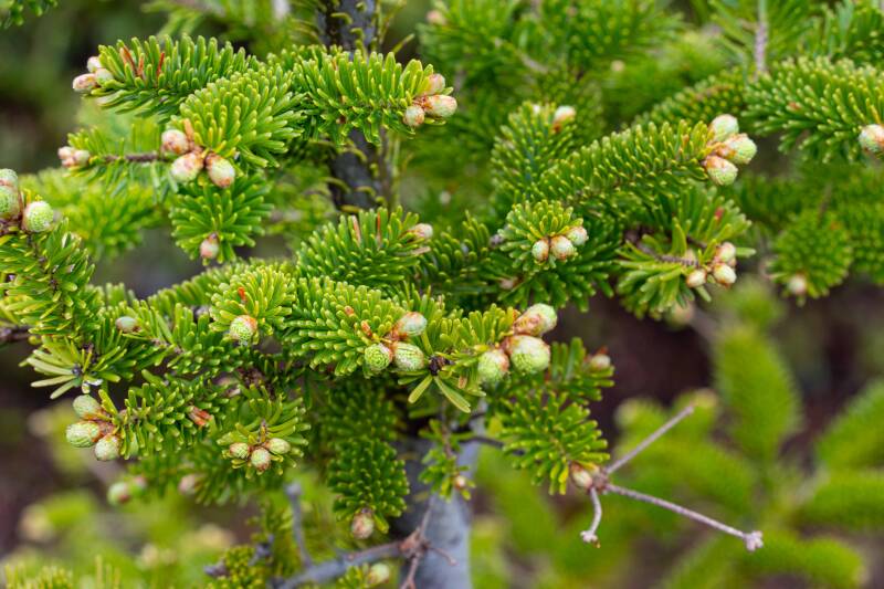
Blooming Fir
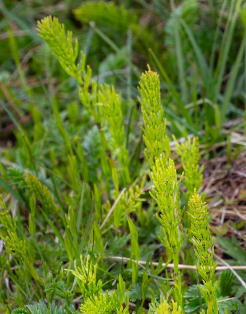
Field Horsetail is one of the most primitive living plants, dating back to the Carboniferous period, about 350 million years ago.
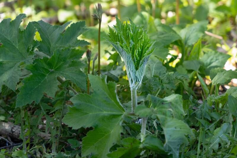
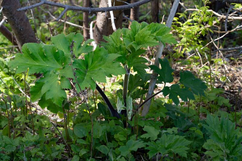
Either a Cow Parsnip or a Giant Hogweeds
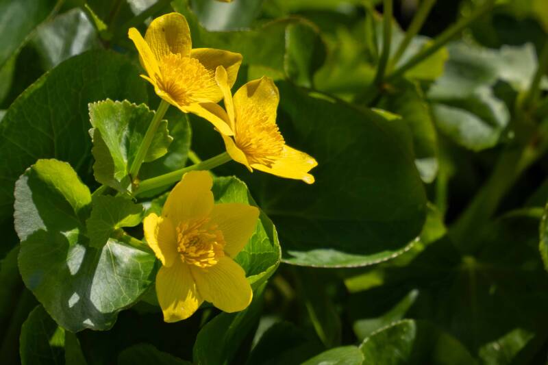
Marsh Marigolds
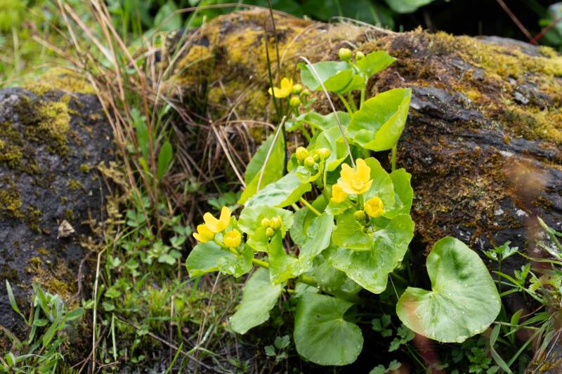
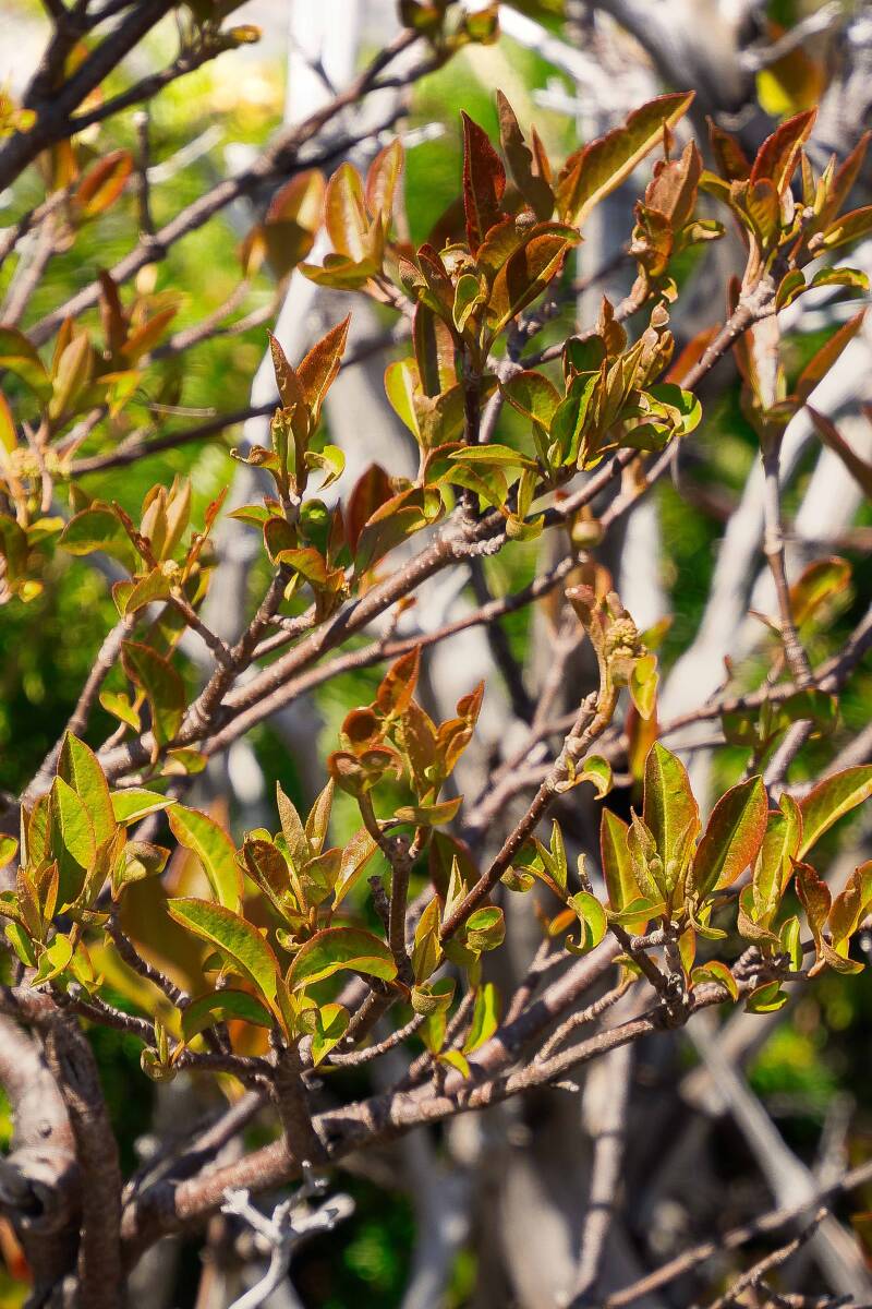
Mountain Mahogany
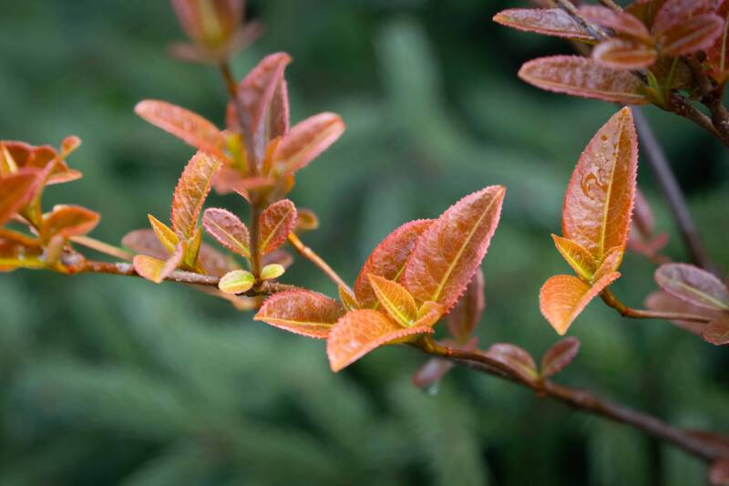
Serviceberry
Star-Tipped Reindeer Lichen

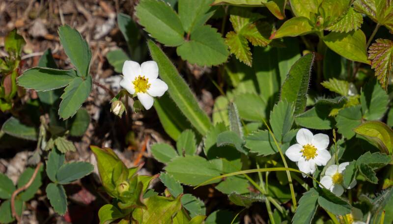
Wild Strawberry
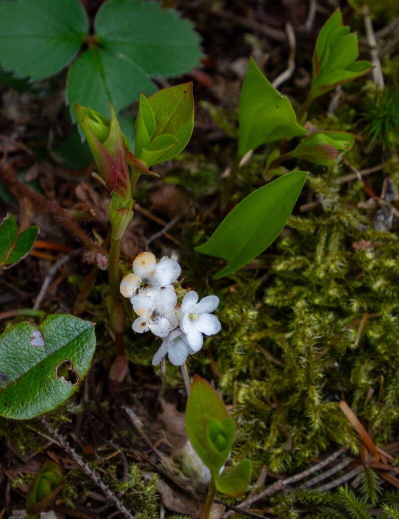
Trailing arbutus
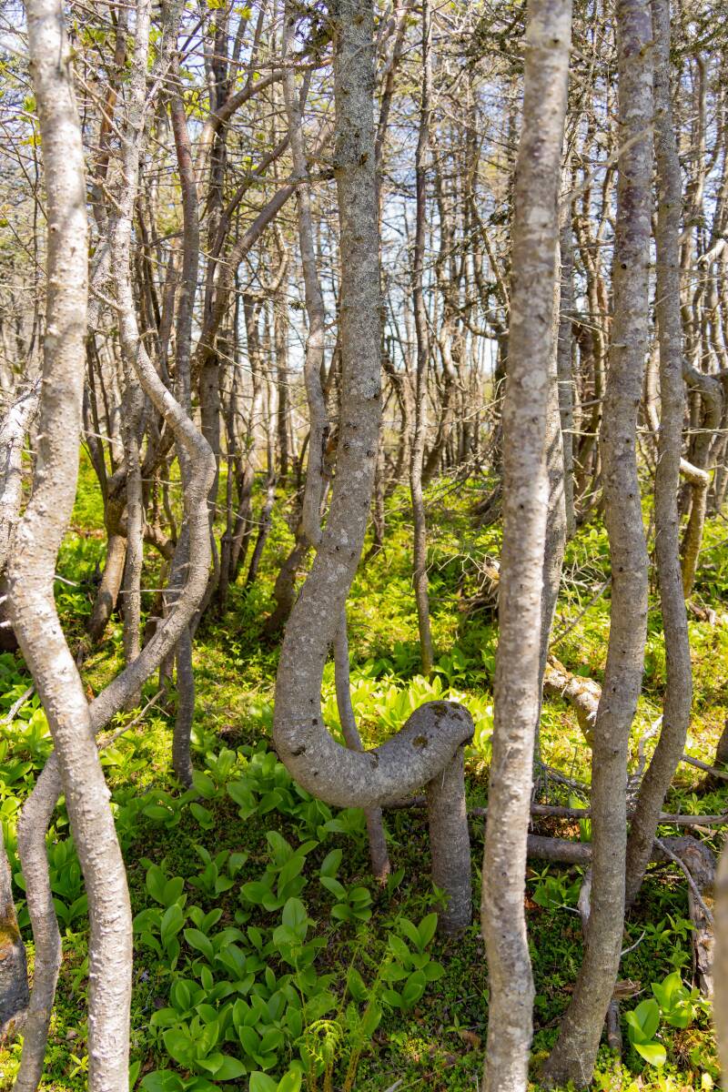
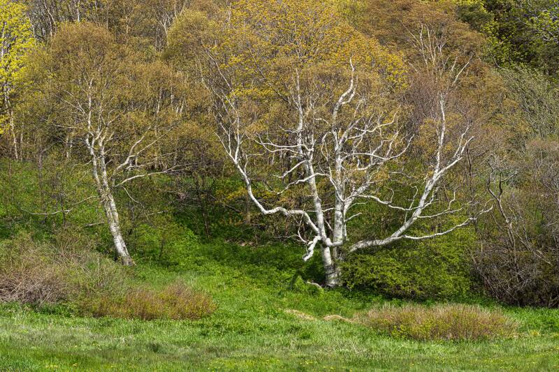
Broom Point, Western Book Pond and Path to Berry Head Pond
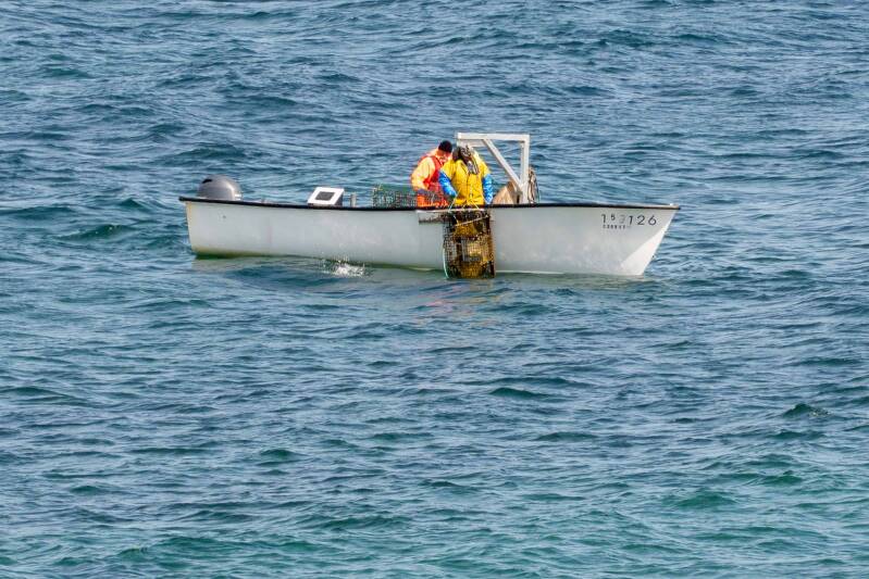
Lobstermen of the coast of Broom Point
Tablelands, Gros Morne NP
The Tablelands are half a billion years in the making. This striking landscape began deep within the Earth’s mantle, the middle layer beneath the crust.
As ancient continents collided, mantle rock was thrust upward, helping to build the Appalachian Mountain chain and contributing to the formation of the supercontinent Pangaea.
Over more than 400 million years, erosion gradually wore down those once-towering mountains. What remains today is a surreal, barren, orange landscape where the Earth’s inner mantle is exposed in a way few places on the planet allow us to see.
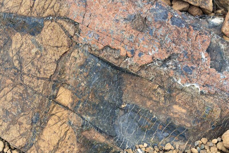
The rocks are composed mainly of Magnesium and Iron, which gives them a reddish surface (oxidized iron) and dark green to black inside.
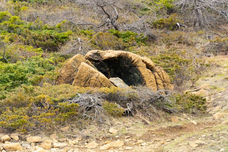
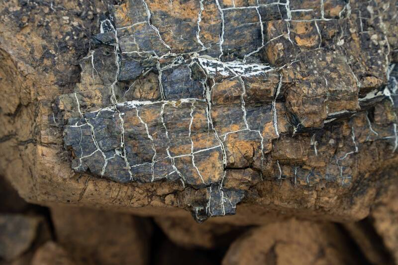
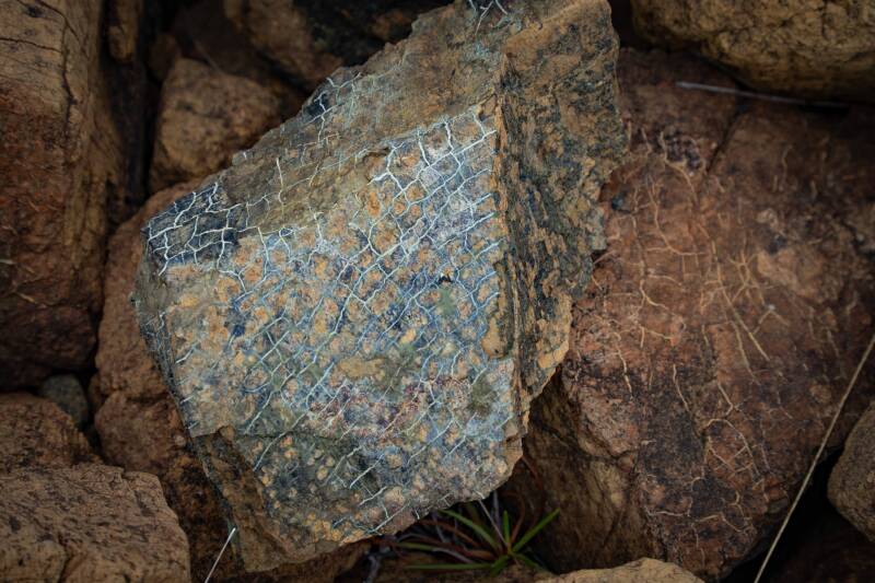
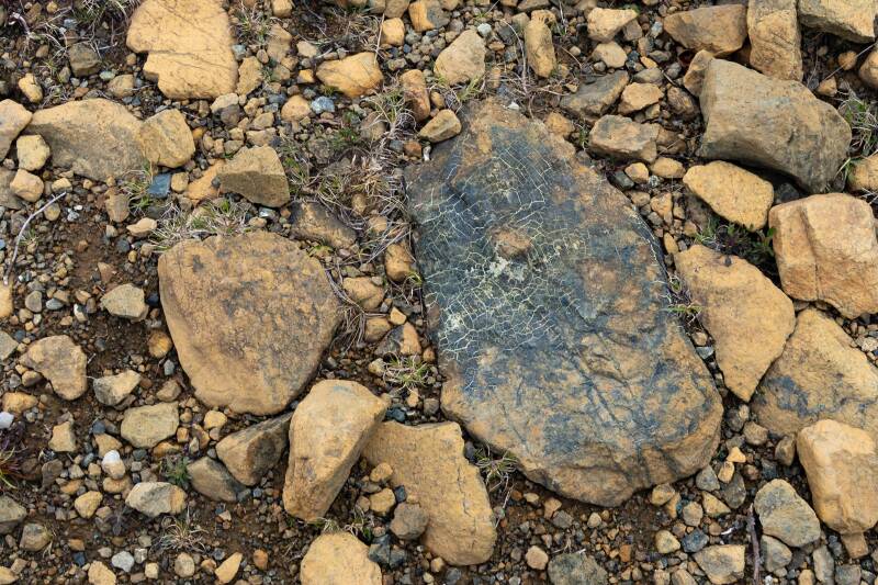
Some rocks develop a serpentine surface through serpentinization, a process in which water reacts with peridotite and alters its original minerals. This creates serpentinite, often with a greenish, waxy, or snakeskin-like texture. The rock may also contain trace amounts of minerals and elements such as nickel, chromium, and cobalt.
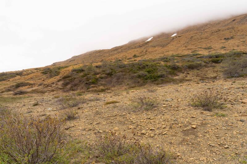
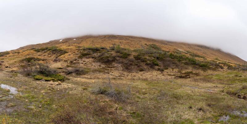
These images are from the hillside of the Tablelands. We did not climb the long trail to the top, because it was in the clouds. The top looks just like the hillsides.
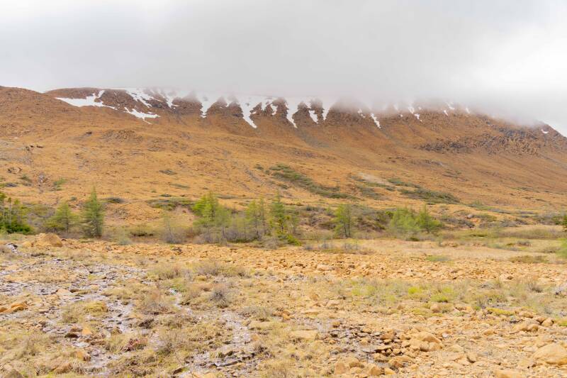
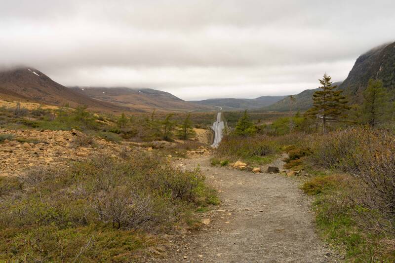
Plant life on the Tablelands is sparse, but a few hardy shrubs and low-growing plants manage to take root in the harsh, mineral-rich soil, adding small touches of green against the barren orange landscape.
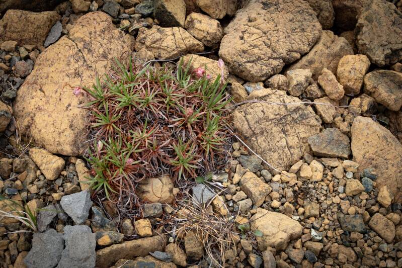
Prickly Thrift
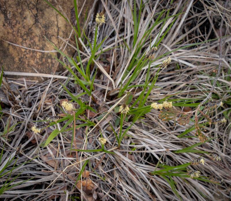
Parasol Sedge
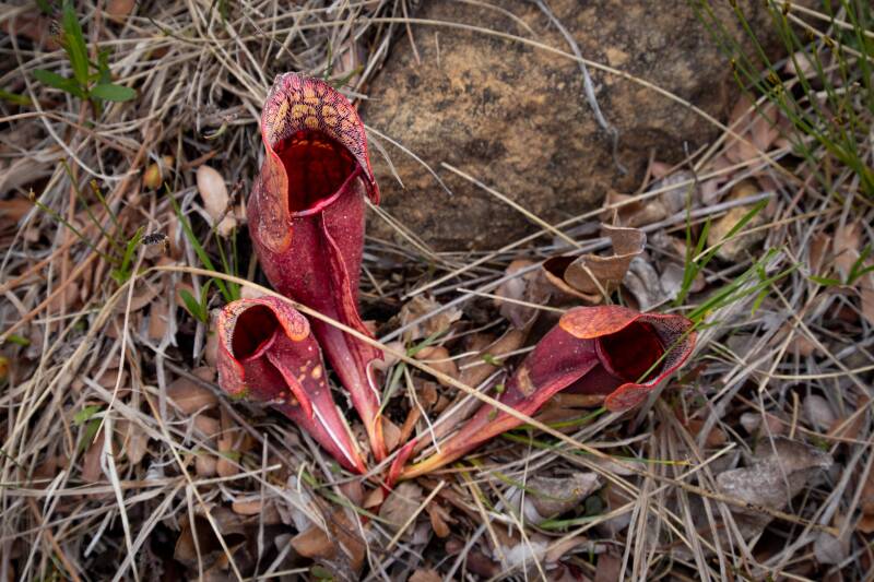
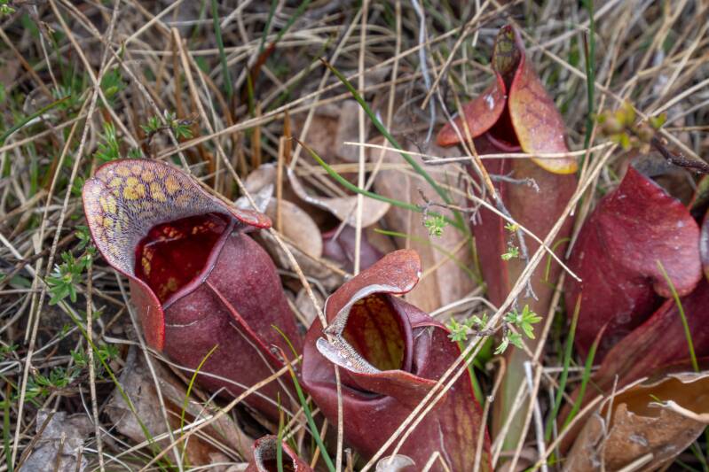
Purple Pitcher Plants
Pitcher plants are remarkable carnivorous plants with specialized leaves shaped like deep, fluid-filled pitchers. These natural traps lure insects with nectar, then hold and digest them in the liquid inside, allowing the plant to draw nutrients from environments where the soil is often poor.
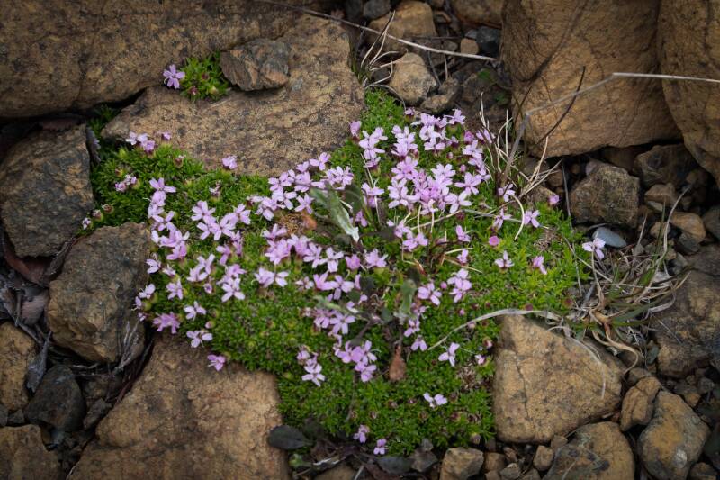
Moss campion is a small, cushion-forming alpine plant that thrives in harsh Arctic and high-mountain environments, producing dense mounds of evergreen leaves and delicate flowers.
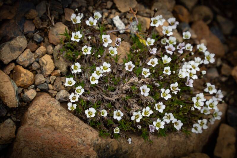
Arctic sandwort is a hardy, low-growing alpine plant that clings to rocky, windswept places. Its small white flowers and dense, cushion-like mats help it survive in cold, exposed environments where few other plants can thrive.
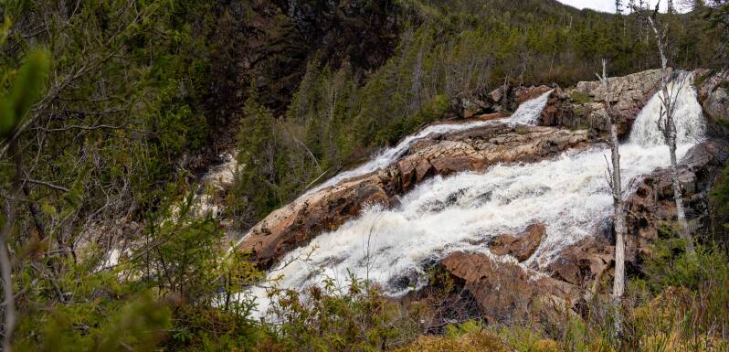
Southeast Brooks Falls, Gros Morne NP
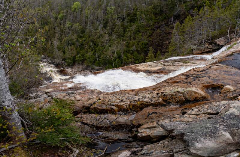

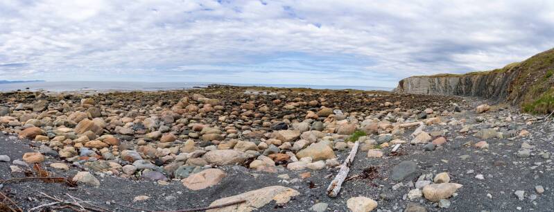
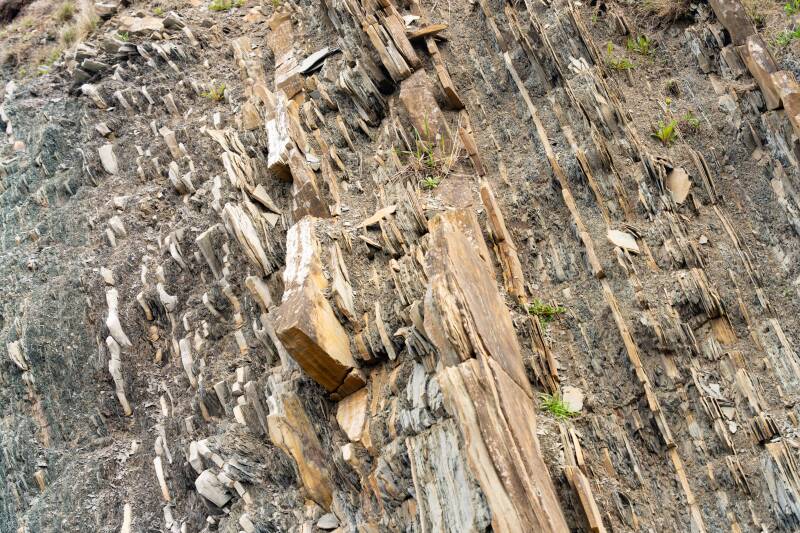
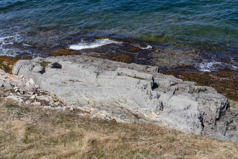
Green Point Geological Site, Gros Morne NP
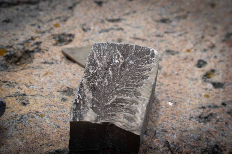
Green Point is renowned for its seaside cliffs and layered rock formations, which formed nearly 500 million years ago on the floor of an ancient ocean. The site contains important fossils, including trilobites and graptolites, that help define the boundary between the Cambrian and Ordovician periods. The cliffs reveal a 60-meter-thick sequence of shale and limestone, with overturned beds dipping 60 to 70 degrees, preserving a record of deep-ocean sediments and periodic limestone avalanches.